IDEA (Innovation, Decision, Environment, Awareness) Research Transfer is a spin-off company of Technical University of Bari created to transfer technology and innovative tools for analysis and decision support from research to complex systems in civil engineering in order to raise awareness of management decisions in terms of effectiveness, efficiency and sustainability.
The technology transfer paradigm of IDEA Research Transfer is based on developing advanced tools in a high-level programming environment and deploying them as simple functions in software environments familiar to technicians (e.g. Excel of Microsoft Office®). This permits to quickly develop, update, test and customize analysis and decision support tools to be used in specific applications in close cooperation with end users. This realizes a dynamic and real-time transfer of the scientific research to the technical field.
IDEA Research Transfer provides:
- Scientific and technical advice for the analysis and decision support in civil engineering through innovative tools developed by the company, also integrated with other systems
- Training of users in developing and using innovative tools by organizing workshops, webinars and conferences oriented to researchers’ training or professional training
- Customized solutions and training of professionals on advanced tools for data analysis and decision support systems in civil engineering


WDNetXL 
WDNetGIS 
EPR MOGA-XL 
ANN MOGA-XL 

Modern management of water distribution networks requires increasingly reliable and sustainable solutions aimed at adequately targeting investments, while providing efficient services to consumers.

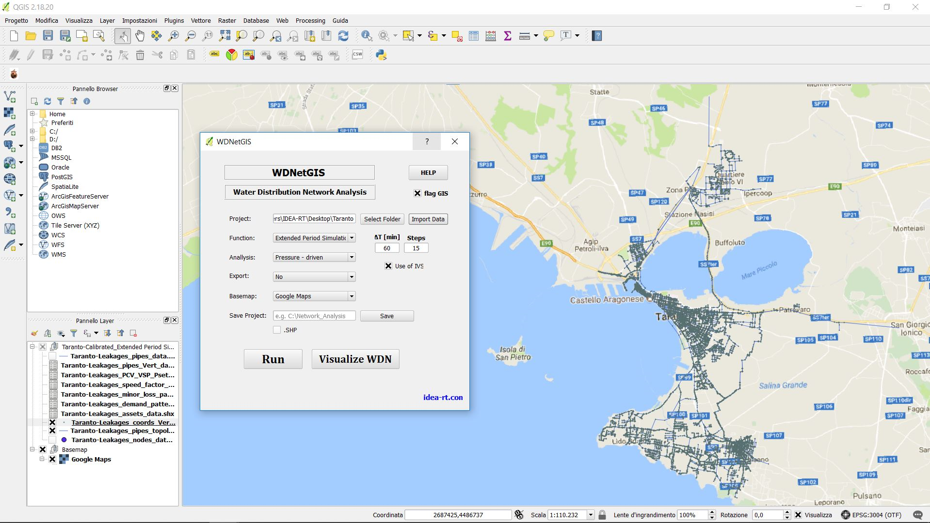
WDNetGIS software integrates robust and advanced hydraulic simulations with topological analysis (WDNetXL), allowing the management, visualization, modification and analysis of data (GIS).

WDNetGIS exploits GIS interface that allows great flexibility to users working on the analysis, design and management of water networks without additional training in the use of data management environment (GIS). Therefore, it enables focusing on the technical-hydraulic aspect right away. WDNetGIS, like WDNetXL, can import data from standard * .inp EPANET files, generable by all commercial software. It is equipped with a 3D viewer with data query function, and integrates completely with WDNetXL by means of shapefiles.