.png)
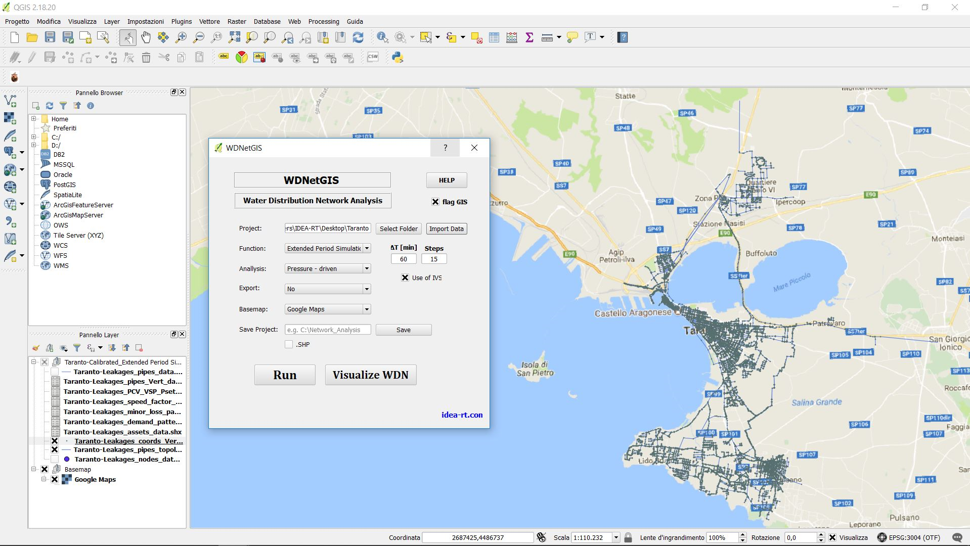
WDNetGIS exploits GIS interface that allows great flexibility to users working on the analysis, design and management of water networks. WDNetGIS, is fully integrated with WDNetXL, can import data from standard * .inp EPANET files, generable by all commercial software. It is equipped with a 3D viewer with data query function, and integrates completely with WDNetXL by means of shapefiles.